

117 KM ULTRA TRAIL® XL
117 KM
Friday, July 23, 10:00 p.m.
4,400 M+
24 hours
4,400 M+


#Route Description
Unlike on routes in the Alps, there are no high-alpine hazards here. There isn’t a single climbing section: We offer trail running, not rock-climbing hikes—every meter of the ULTRA TRAIL® XL is runnable. But don’t underestimate the trails; the sections—some of which are very technical—will push you to your limits.
From the start of the ULTRA XL, the route first heads from Haidmühle along undulating forest roads and short single trails through the forests of the Bischofsreuter Forest to Herzogsreut and on via ancient trails, built by packhorsemen heading to Bohemia, up through the Leopoldsreuter Forest, where you’ll also pass Germany’s formerly highest-altitude school. Today, however, only the chapel and the old school building remain visible of the “abandoned” village of Leopoldsreut. Over the next few kilometers, you’ll climb the typical elevation of a low mountain range along a zigzagging elevation profile before reaching a true 3Kings3Hills highlight at the Haidlgipfel. A refreshment station awaits you at the top of the 35-meter-high observation tower. With a bit of luck with the weather, you’ll enjoy a wonderful view into the distance at night, and a brief moment to pause and take it all in is guaranteed. The route continues over constantly changing terrain, steadily uphill and downhill, back to Haidmühle, where a brief medical check awaits you at the aid station near the start/finish area after just under 70 kilometers. You’ve now completed the easy-to-run warm-up. It’s time to move on to the technical part of the course: From here on out, keep your eyes open and stay fully focused, because the trails around the 1,333-meter-high Dreisesselberg are cognitively and physically demanding and will push you to your limits over the final nearly 60 kilometers, featuring 2,400 meters of elevation gain across all terrains. On trails that are partly rocky but mostly flowing, with breathtaking views in the former “Dead Zone” along the Iron Curtain, the route runs directly along the border with the Czech Republic to the tri-border area and back via the famous “Stone Sea” to Riedelsbach, partly along the border with Austria. From there, you’ll ride on wonderfully root-strewn singletrack through the Riedelsbach Forest, tackling a challenging climb to the Klausgupf with its granite boulders so typical of the Bavarian Forest.
Roots, granite boulders, wooden boardwalks, and loose terrain now alternate as the route continues across abandoned forest meadows and past the Brennerin’ Hütte to Frauenberg and back to Haidmühler Filz in the finish area.
We’d like to take this opportunity to briefly note that we reserve the right to make changes to the start times and possibly minor adjustments to the route. More information will follow soon!
#Route Profile
Sie sehen gerade einen Platzhalterinhalt von alltrails. Um auf den eigentlichen Inhalt zuzugreifen, klicken Sie auf den Button unten. Bitte beachten Sie, dass dabei Daten an Drittanbieter weitergegeben werden.
Weitere Informationen#Elevation Profile

More Information
Friday, July 23, 27
10:00 p.m.
Haidl 6:45 a.m.
Haidmühle 10:00 a.m.
Riedelsbacher Forest 5:30 p.m.
5 ITRA points, 100K UTMB Index
117 kilometers
4,400 meters of elevation gain
60% Trail
36% forest road
< 4% paved
Haidmühle / Old Sports Field
Haidmühle / Old Sports Field
150
Saturday, July 24, 27
10:00 p.m.
Trophy
250€ 200€ 150€ Cash
Electronic/Race Number with Transponder (No Deposit)
Men’s U30, Women’s U30, Men’s 30, Women’s 30, Men’s 40, Women’s 40, Men’s 50, Women’s 50, Men’s 60, Women’s 60
Not possible
Starting October 5: 179 €
Starting March 8: 199 €
Starting June 7: 219 €
11 Refreshment Stations
Sulzberg
Schwendreut
Haidel
Gschwendet
Haidmühle
Dreisessel #1
Dreisessel #2
Riedelsbach
Michelklause
Frauenberg
Finish-line refreshments at Haidmühle
July 23, 2027, 10:00 a.m. – 10:00 p.m.
Old Haidmühle Sports Field

DROP BAGS ULTRA TRAIL® XL
For the ULTRA TRAIL® XL, you have the option to drop off a drop bag in Haidmühle—you’ll pass by this aid station on the festival grounds. You can drop off your drop bag at the race packet pickup. That’s also where you’ll pick it up again after the race.
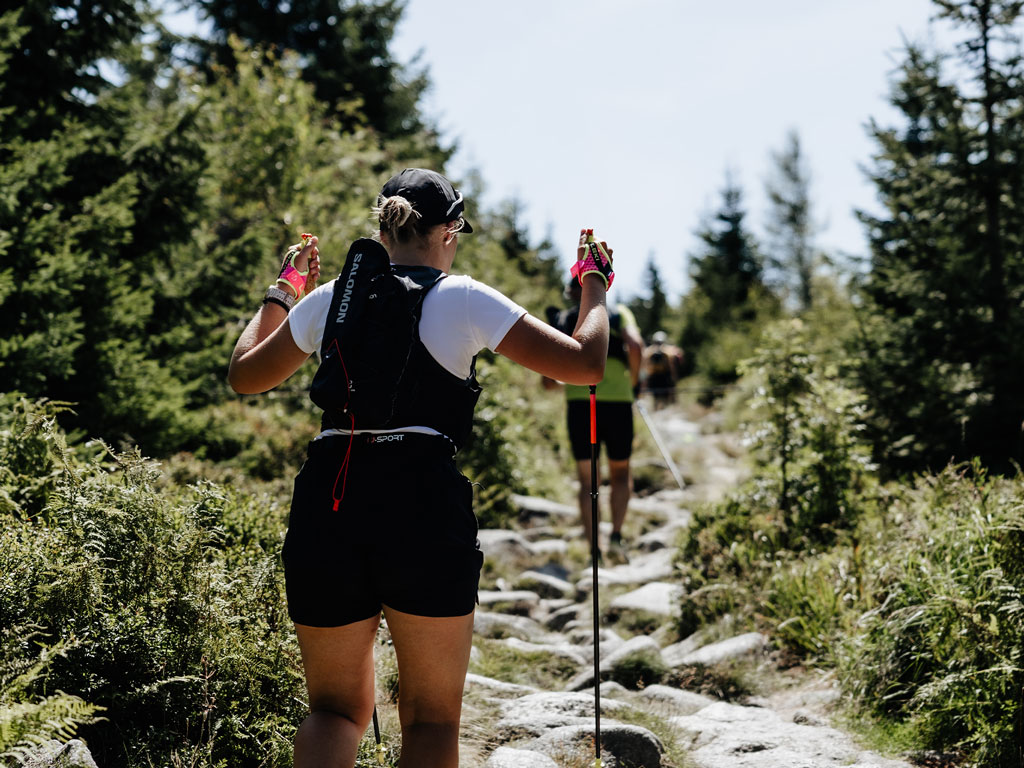
Private Refreshments Allowed
Participants in the ULTRA TRAIL® XL and the 100 MILES ULTRA TRAIL® may receive additional private support from friends, family members, or support staff at the official aid stations (VPs). Private support is permitted exclusively at the designated VP locations.

3KINGS Tracking App
Required for ULTRA TRAIL® XL! For your own safety, we track the distance you’ve covered—this allows us to locate you in case of an emergency. You can also use the app to check for yourself whether you’re on the right route.
Download the app here
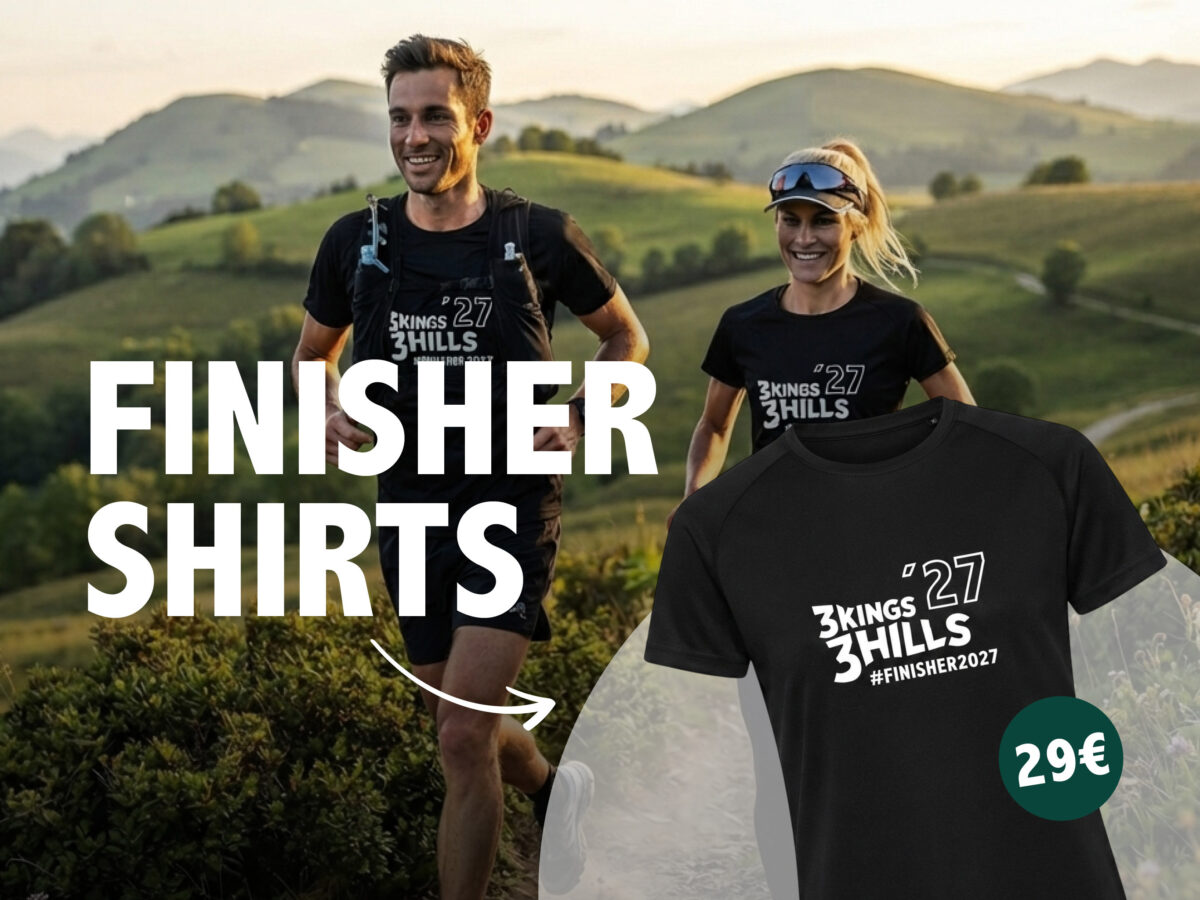
3KINGS Finisher Shirt
A memento of the event. You can purchase the T-shirt now and pick it up when you collect your race number. Quantities are strictly limited.
Breathable performance shirt made of 100% polyester

We are ITRA and UTMB members
That means we’re an internationally recognized race!
YOU’LL GET…

There are no cups at the aid stations!
You must carry a water bottle with a capacity of at least one liter —there are no cups available at the aid stations.
Our mandatory gear will be checked at random during the briefing.
Mandatory Equipment
Carrying the following equipment throughout the entire competition is absolutely mandatory and will be checked at random during the briefing:

Your Alternative Routes
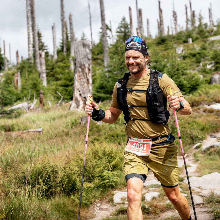
#3kings3hills
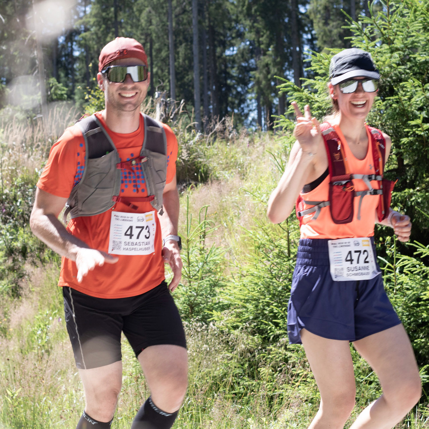
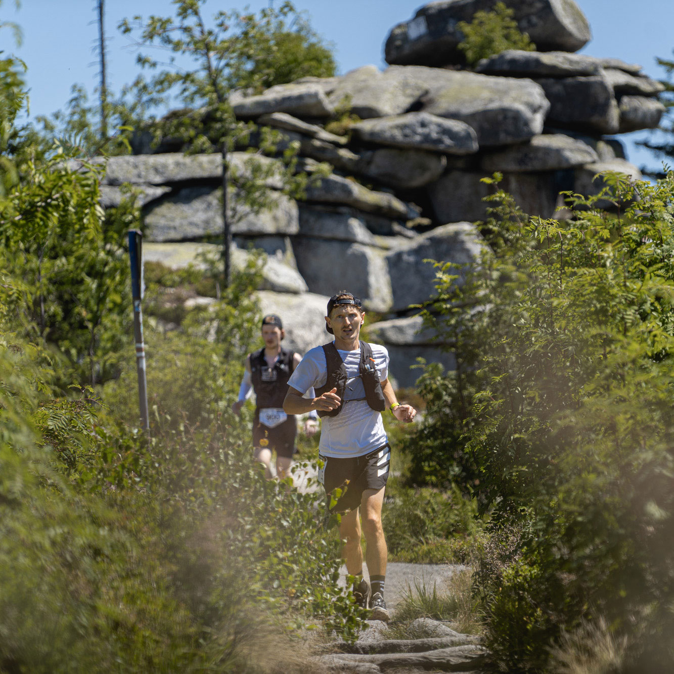
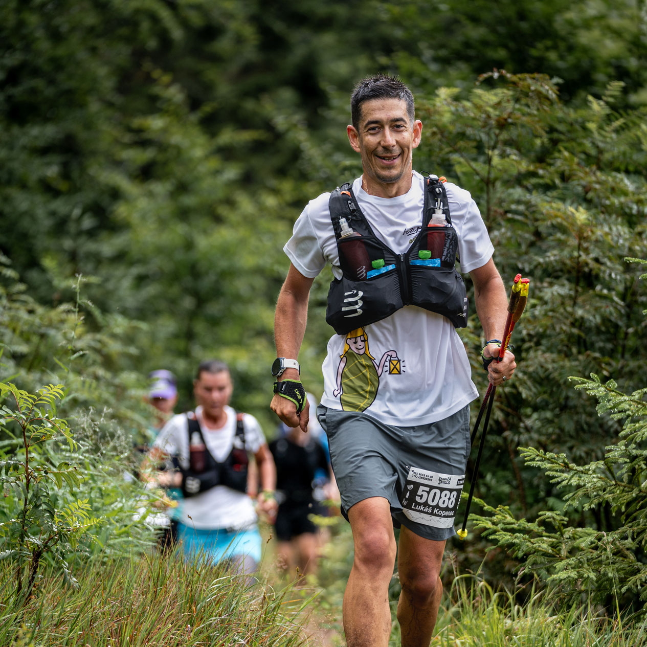
Share your experience on Instagram, Facebook, and TikTok, and tag us in your posts and Stories. We can’t wait to see them!
Sie sehen gerade einen Platzhalterinhalt von elfsight. Um auf den eigentlichen Inhalt zuzugreifen, klicken Sie auf den Button unten. Bitte beachten Sie, dass dabei Daten an Drittanbieter weitergegeben werden.
Weitere Informationen